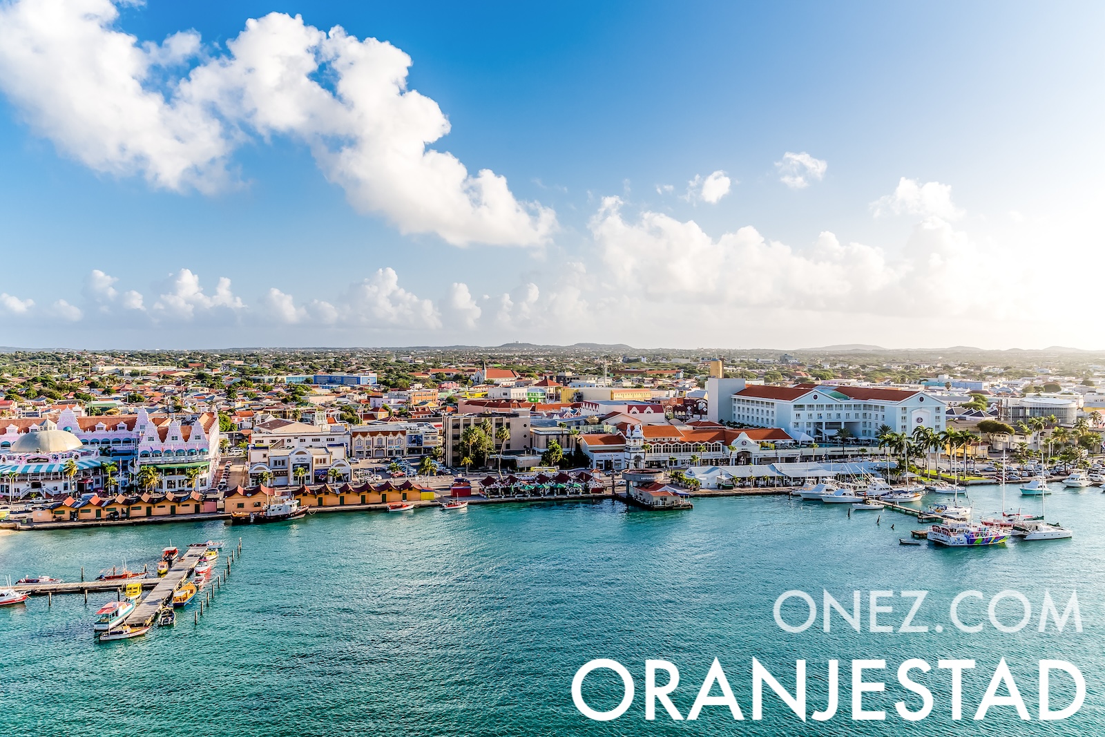
Aruba is a Dutch Caribbean island lying outside the hurricane belt. Constant trade winds bend its divi-divi trees permanently to the southwest, so every tree leans the same way.
Administrative divisions of Aruba map
06 km (3.7 mi)12 km (7.5 mi)18 km (11 mi)24 km (15 mi)
Height
0615305075100150188 m
0204998164246328492617 ft
0 m (0 ft), 6 m (20 ft), 15 m (49 ft), 30 m (98 ft), 50 m (164 ft), 75 m (246 ft), 100 m (328 ft), 150 m (492 ft), Max altitude 188 m (617 ft)
Sea depth
01506001 8003 2005 200+ m
04921 9705 91010 50017 060+ ft
0 m (0 ft), 150 m (492 ft), 600 m (1970 ft), 1800 m (5910 ft), 3200 m (10500 ft), deeper than 5200 m (17060 ft)
Height from west to east in Aruba
Height from south to north in Aruba
1Caribbean Sea0 m
Population of Aruba, 1960–2025
The World Bank: Population, total (SP.POP.TOTL): United Nations Population Division, national statistical offices