
Ivory Coast grows more cocoa than any other country, supplying a large share of the world's chocolate. Yamoussoukro holds a basilica larger than St Peter's in Rome.
Ivory Coast (Cote d’Ivoire)
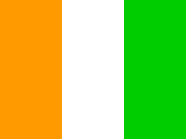
Ivory Coast (Cote d'Ivoire) Flag
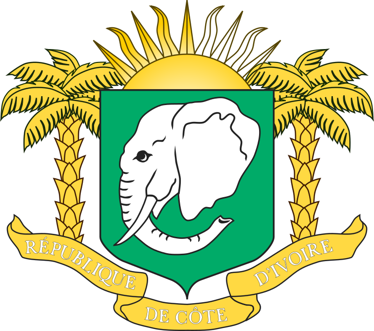
Ivory Coast (Cote d'Ivoire) Armorial
Easy learning about Ivory Coast (Cote d'Ivoire)
The capital city of Ivory Coast (Cote d'Ivoire) is Yamoussoukro, capital city of Ivory Coast (Cote d’Ivoire).
Word: Cacao
Meaning: chocolate beans
Administrative Divisions
14 divisions:
- CI-G01
- CI-G02
- CI-G03
- CI-G04
- CI-G05
- CI-G06
- CI-G07
- CI-G08
- CI-G09
- CI-G10
- CI-G11
- CI-G12
- CI-G13
- CI-G14
Administrative divisions of Ivory Coast (Cote d’Ivoire) map
Ivory Coast (Cote d’Ivoire) is a Country on the Sub-Saharan Africa located in the Western Africa sub-region in the continent of Africa.
0150 km (93 mi)300 km (186 mi)450 km (280 mi)600 km (373 mi)
Height
-1 m (-3 ft), 30 m (98 ft), 75 m (246 ft), 150 m (492 ft), 250 m (820 ft), 400 m (1310 ft), 500 m (1640 ft), 600 m (1970 ft), 750 m (2460 ft), Max altitude 1613 m (5290 ft)Sea depth
0 m (0 ft), 150 m (492 ft), 600 m (1970 ft), 1800 m (5910 ft), 3200 m (10500 ft), deeper than 5200 m (17060 ft)Height from west to east in Ivory Coast (Cote d’Ivoire)
Height from south to north in Ivory Coast (Cote d’Ivoire)
1Gulf of Guinea (South), North Atlantic Ocean (Southwest)0 m2Komoé13 to 290 m3Sassandra14 to 410 m
Population of Ivory Coast (Cote d’Ivoire), 1960–2025
The World Bank: Population, total (SP.POP.TOTL): United Nations Population Division, national statistical offices
Basic Information
Capital City: Yamoussoukro, capital city of Ivory Coast (Cote d’Ivoire)
Population: 32,711,547 (World Bank)
Area: 322,463 km² / 124,504 sq mi
People from Ivory Coast (Cote d’Ivoire) are called: Ivorians
Geography
Latitude: 7.491° N
Longitude: 5.569° W
Geographical Subregion: Western Africa
Intermediary Region: Sub-Saharan Africa
Continental Region: Africa
Highest Elevation Point: Mount Richard-Molard (1 752 m)
Lowest point: Gulf of Guinea (0 m)
Borders
- Liberia — Land border
- Ghana — Land border
- Guinea — Land border
- Burkina Faso — Land border
- Mali — Land border
Climate
tropical along coast, semiarid in far north; three seasons - warm and dry (November to March), hot and dry (March to May), hot and wet (June to October)
Global Indices
EF EPI Position: 114 (EF EPI)
EF EPI Score: 399 (EF EPI)
EF EPI Proficiency: Very Low Proficiency (EF EPI)
Global Peace Index Rank: 93 (GPI)
Global Peace Index Score: 2.061 (GPI)
Human Development
HDI Rank: 157 (UNDP)
HDI Value: 0.582
Mean Years of Schooling: 4.9
Expected Years of Schooling: 11.4
Life Expectancy at Birth: 61.9 Years
Religion
Most Predominant: Muslim
Second Most Predominant: Catholic
LGBTI Rights
Legal Status: Legal (ILGA)
Legal Mechanism: N/A
Death Penalty: No
Maximum Prison Sentence: No
Physical Punishment: No
Technical Information
Time Zone: UTC+00:00
Official website: gouv.ci
TLD: .ci
Calling Code: +225
MapGeo Name: Côte d'Ivoire
MapGeo Code: CI