Saint Vincent and the Grenadines strings 32 islands and cays across the eastern Caribbean. La Soufrière, its active volcano, erupted again in 2021.

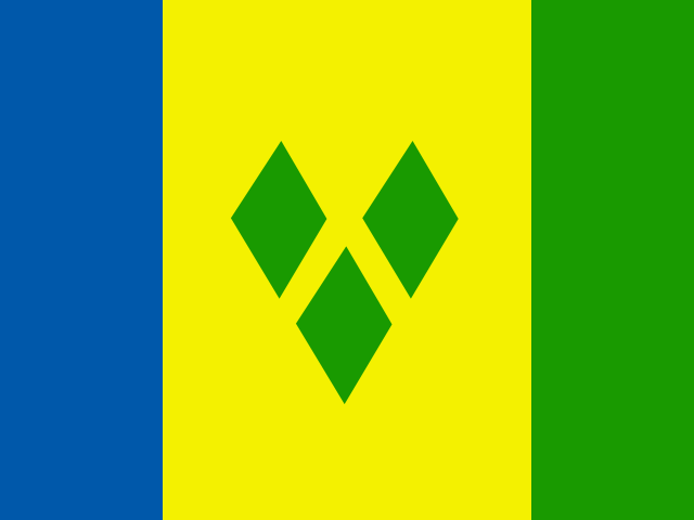
Saint Vincent and the Grenadines
Saint Vincent and the Grenadines strings 32 islands and cays across the eastern Caribbean. La Soufrière, its active volcano, erupted again in 2021.
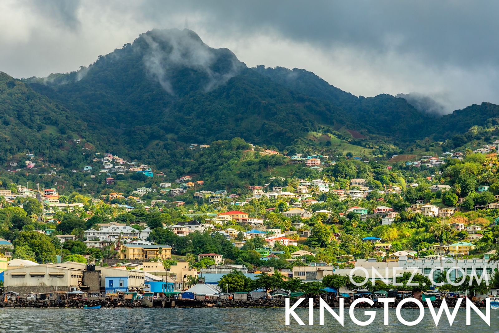
The capital city of Saint Vincent and the Grenadines is Kingstown, capital city of Saint Vincent and the Grenadines.
Word: Soufrière
Meaning: erupting volcano
6 parishes:
Saint Vincent and the Grenadines is a Country of Windward Islands on the Latin America and the Caribbean located in the Caribbean sub-region in the continent of Americas, member of CARICOM.
Natural Earth · © OpenStreetMap contributors (ODbL) · GEBCO 2026 Grid · Heights: NASADEM, NASA
Capital City: Kingstown, capital city of Saint Vincent and the Grenadines
Population: 99,924 (World Bank)
Area: 389 km² / 242 sq mi
People from Saint Vincent and the Grenadines are called: Saint Vincentians, Vincentians
Latitude: 13.088° N
Longitude: 61.336° W
Geographical Subregion: Caribbean
Intermediary Region: Latin America and the Caribbean
Continental Region: Americas
Highest Elevation Point: La Soufrière (1 220 m)
Lowest point: Caribbean Sea (0 m)
tropical; little seasonal temperature variation; rainy season (May to November)
HDI Rank: 76 (UNDP)
HDI Value: 0.798
Mean Years of Schooling: 11.3
Expected Years of Schooling: 16.3
Life Expectancy at Birth: 71.2 Years
Most Predominant: Protestant Pentecostal, Anglican, Seventh Day Adventist, Baptist, Methodist, Evangelical, Salvation Army, Presbyterian/Congregational
Second Most Predominant: Catholic
Legal Status: Illegal (ILGA)
Legal Mechanism: N/A
Death Penalty: No
Maximum Prison Sentence: 10 Years
Physical Punishment: No
CARICOM - since 1974
Time Zone: UTC−04:00
TLD: .vc
Calling Code: +-783
MapGeo Name: Saint Vincent and the Grenadines
MapGeo Code: VC