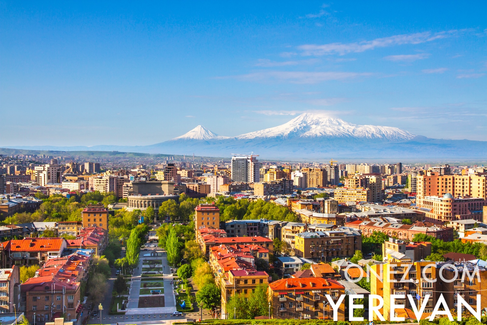
Armenia is a landlocked republic in the South Caucasus, almost all of it above 1,000 metres. In 301 it became the first state in the world to adopt Christianity.
Where is Armenia located on the world map?
Armenia is located in the South Caucasus region of Eurasia, situated at the crossroads of Eastern Europe and Western Asia. It lies south of the Caucasus Mountains, bordered by Turkey to the west, Georgia to the north, Azerbaijan to the east, and Iran to the south.
385 m (1260 ft), 800 m (2620 ft), 1000 m (3280 ft), 1300 m (4270 ft), 1700 m (5580 ft), 2100 m (6890 ft), 2600 m (8530 ft), 3100 m (10170 ft), 3300 m (10830 ft), Max altitude 4059 m (13320 ft)
Winter snow (approximate)
Height from west to east in Armenia
Height from south to north in Armenia
1Hrazdan834 to 2 476 m2Pambak449 to 2 231 m3Aras425 to 1 430 m
Population of Armenia, 1960–2025
The World Bank: Population, total (SP.POP.TOTL): United Nations Population Division, national statistical offices