India

India

India recognises twenty-two official languages and prints several of them on its banknotes. Cherrapunji in the northeast is among the wettest inhabited places on Earth.

Indian head wobble

India-Pakistan Partitions

Caste System in India

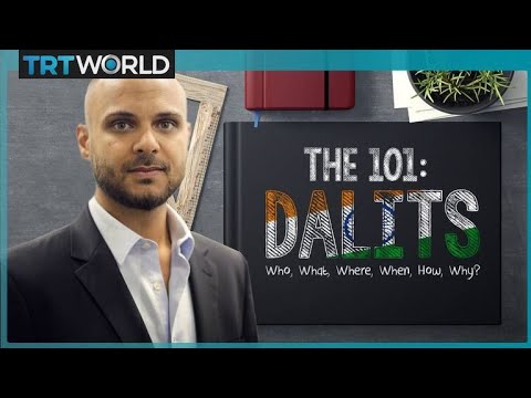
India's Dalits caste (untouchables) explained

Featured video presenting India

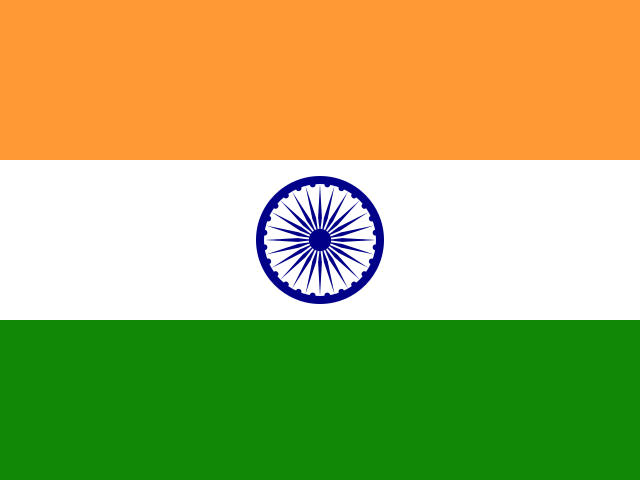
India Flag

India Flag

India Armorial

India Armorial

India Map

Easy learning about India

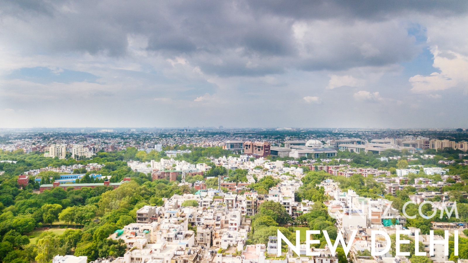
The capital city of India is New Delhi, capital city of India.

Word: Namaste

Meaning: respect greeting

Administrative Divisions

24 states, 8 union territories and 4 divisions.

States:

  • Andhra Pradesh
  • Arunachal Pradesh
  • Assam
  • Bihar
  • Goa
  • Gujarat
  • Haryana
  • Himachal Pradesh
  • Jharkhand
  • Karnataka
  • Kerala
  • Madhya Pradesh
  • Maharashtra
  • Manipur
  • Meghalaya
  • Mizoram
  • Nagaland
  • Punjab
  • Rajasthan
  • Sikkim
  • Tamil Nadu
  • Tripura
  • Uttar Pradesh
  • West Bengal

Union territories:

  • Andaman and Nicobar Islands
  • Chandigarh
  • Dadra and Nagar Haveli and Daman and Diu
  • Jammu and Kashmir
  • Ladakh
  • Lakshadweep
  • National Capital Territory of Delhi
  • Puducherry

Divisions:

  • IN-CT
  • IN-OR
  • IN-TG
  • IN-UT

Administrative divisions of India map

India is a Country located in the Southern Asia sub-region in the continent of Asia.

0750 km (466 mi)1500 km (932 mi)2250 km (1398 mi)3000 km (1864 mi)
Height
-5 m (-16 ft), 250 m (820 ft), 600 m (1970 ft), 1500 m (4920 ft), 2000 m (6560 ft), 3000 m (9840 ft), 4000 m (13120 ft), 5000 m (16400 ft), 6000 m (19690 ft), Max altitude 8549 m (28050 ft)
Sea depth
0 m (0 ft), 150 m (492 ft), 600 m (1970 ft), 1800 m (5910 ft), 3200 m (10500 ft), deeper than 5200 m (17060 ft)
Permanent snow and iceWinter snow (approximate)
Height from west to east in India
−100 m1 500 m3 000 m4 000 m5 000 m6 000 m8 750 monez.com8 549 mKanchenjunga−5 mWest2 902.9 kmEast
Height from south to north in India
−100 m1 500 m3 000 m4 000 m5 000 m6 000 m8 750 monez.com1238 549 mKanchenjunga−5 mSouth3 028.9 kmNorth
1Bay of Bengal (South), Andaman Sea (Southeast), Arabian Sea (West), Laccadive Sea (Southwest)0 m2Ganges0 to 2 967 m3Godavari0 to 567 m
Population of India, 1960–2025
0500 M1 B1.5 Bonez.com1 463 865 525196019932025
The World Bank: Population, total (SP.POP.TOTL): United Nations Population Division, national statistical offices

Natural Earth · GEBCO 2026 Grid

Basic Information

Capital City: New Delhi, capital city of India

Population: 1,463,865,525 (World Bank)

Area: 3,287,263 km² / 1,269,219 sq mi

People from India are called: Indians

Geography

Latitude: 22.687° N

Longitude: 79.358° E

Geographical Subregion: Southern Asia

Continental Region: Asia

Highest Elevation Point: Kangchenjunga (8 586 m)

Lowest point: Kuttanad (−2 m)

Borders

Citizenship & Passport

Passport Ranking: 80 (HP Index)

Visa-Free Destinations: 56

Climate

varies from tropical monsoon in south to temperate in north

Global Indices

EF EPI Position: 69 (EF EPI)

EF EPI Score: 490 (EF EPI)

EF EPI Proficiency: Low Proficiency (EF EPI)

Global Peace Index Rank: 127 (GPI)

Global Peace Index Score: 2.409 (GPI)

Economy

GDP per Capita: $2,675 (IMF)

GDP per Capita Position: 150

Currency: Rupee

Currency Code: INR

Human Development

HDI Rank: 130 (UNDP)

HDI Value: 0.685

Mean Years of Schooling: 6.9

Expected Years of Schooling: 13.0

Life Expectancy at Birth: 72.0 Years

Religion

Most Predominant: Hindu

Second Most Predominant: Muslim

LGBTI Rights

Legal Status: Legal (ILGA)

Legal Mechanism: Judicial

Death Penalty: No

Maximum Prison Sentence: No

Physical Punishment: No

Technical Information

TLD: .in

Calling Code: +91

MapGeo Name: India

MapGeo Code: IN

Where in the world is India located?

Click on any country to explore it