
Timor Leste was the first new sovereign state of the twenty-first century, independent in 2002. Portuguese and Tetum are its official languages.
Timor Leste
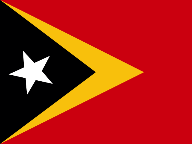
Timor Leste Flag
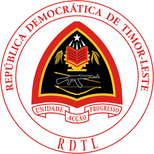
Timor Leste Armorial
Easy learning about Timor Leste
The capital city of Timor Leste is Dili, capital city of Timor Leste.
Word: Tais
Meaning: woven cloth
Administrative Divisions
12 municipalities and 1 special administrative region.
Municipalities:
- Aileu
- Ainaro
- Baucau
- Bobonaro
- Cova Lima
- Dili
- Ermera
- Lautém
- Liquiçá
- Manatuto
- Manufahi
- Viqueque
Special administrative region:
- Oe-Cusse Ambeno
Municipalities and special administrative region of Timor Leste map
Timor Leste is a Country located in the South-eastern Asia sub-region in the continent of Asia.
075 km (47 mi)150 km (93 mi)225 km (140 mi)300 km (186 mi)
Height
0 m (0 ft), 100 m (328 ft), 250 m (820 ft), 500 m (1640 ft), 750 m (2460 ft), 1000 m (3280 ft), 1500 m (4920 ft), 2000 m (6560 ft), 2500 m (8200 ft), Max altitude 2937 m (9640 ft)Sea depth
0 m (0 ft), 150 m (492 ft), 600 m (1970 ft), 1800 m (5910 ft), 3200 m (10500 ft), deeper than 5200 m (17060 ft)Height from west to east in Timor Leste
Height from south to north in Timor Leste
1Banda Sea (North), Timor Sea (Southeast), Savu Sea (West)0 m
Population of Timor Leste, 1960–2025
The World Bank: Population, total (SP.POP.TOTL): United Nations Population Division, national statistical offices
Natural Earth · © OpenStreetMap contributors (ODbL) · GEBCO 2026 Grid · Heights: NASADEM, NASA
Basic Information
Capital City: Dili, capital city of Timor Leste
Population: 1,418,517 (World Bank)
Area: 14,919 km² / 5,760 sq mi
People from Timor Leste are called: Timorese
Geography
Latitude: 8.804° S
Longitude: 125.855° E
Geographical Subregion: South Eastern Asia
Continental Region: Asia
Highest Elevation Point: Tatamailau (2 963 m)
Lowest point: Timor Sea (0 m)
Borders
- Indonesia — Land border
Climate
tropical; hot, humid; distinct rainy and dry seasons
Human Development
HDI Rank: 142 (UNDP)
HDI Value: 0.634
Mean Years of Schooling: 6.2
Expected Years of Schooling: 13.3
Life Expectancy at Birth: 67.7 Years
Religion
Most Predominant: Catholic
Second Most Predominant: Protestant
LGBTI Rights
Legal Status: Legal (ILGA)
Legal Mechanism: Legislative
Death Penalty: No
Maximum Prison Sentence: No
Physical Punishment: No
Technical Information
Time Zone: UTC+09:00
Official website: timor-leste.gov.tl
TLD: .tl
Calling Code: +670
MapGeo Name: Timor-Leste
MapGeo Code: TL