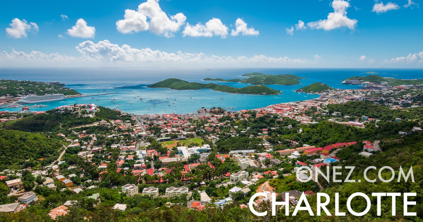
U.S. Virgin Islands are the only place under the United States flag where traffic drives on the left. They were bought from Denmark in 1917.
Administrative divisions of U.S. Virgin Islands map
010 km (6.2 mi)20 km (12 mi)30 km (19 mi)40 km (25 mi)
Height
0103060100150200250300352 m
033981973284926568209841 150 ft
0 m (0 ft), 10 m (33 ft), 30 m (98 ft), 60 m (197 ft), 100 m (328 ft), 150 m (492 ft), 200 m (656 ft), 250 m (820 ft), 300 m (984 ft), Max altitude 352 m (1150 ft)
Sea depth
01506001 8003 2005 200+ m
04921 9705 91010 50017 060+ ft
0 m (0 ft), 150 m (492 ft), 600 m (1970 ft), 1800 m (5910 ft), 3200 m (10500 ft), deeper than 5200 m (17060 ft)
Height from west to east in U.S. Virgin Islands
Height from south to north in U.S. Virgin Islands
1Caribbean Sea0 m
Population of U.S. Virgin Islands, 1960–2025
The World Bank: Population, total (SP.POP.TOTL): United Nations Population Division, national statistical offices