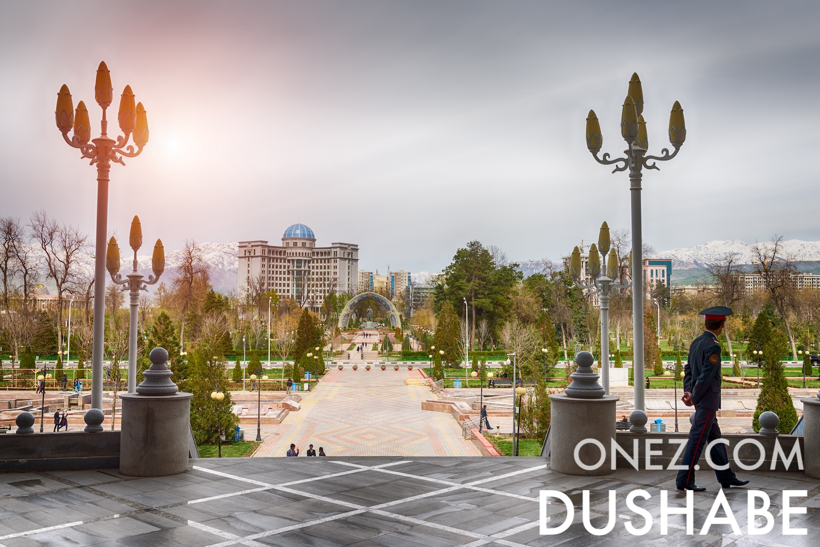
Tajikistan is more than 90 percent mountain, with over half its land above 3,000 metres. The Fedchenko glacier is the longest outside the polar regions.

Tajikistan
Tajikistan is more than 90 percent mountain, with over half its land above 3,000 metres. The Fedchenko glacier is the longest outside the polar regions.
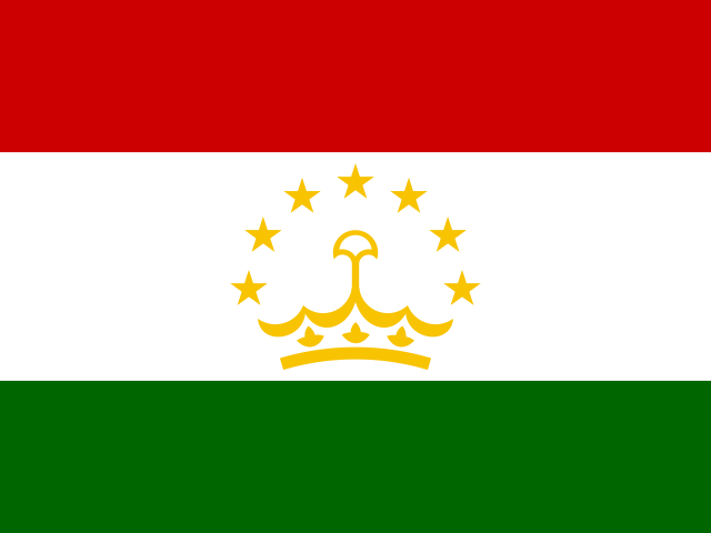
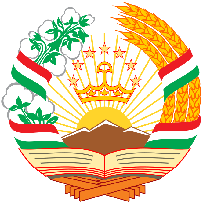
The capital city of Tajikistan is Dushanbe, capital city of Tajikistan.
Word: Pamirs
Meaning: high mountains
2 regions, 1 autonomous region, 1 capital territory and 1 division.
Regions:
Autonomous region:
Capital territory:
Division:
Tajikistan is a Country located in the Central Asia sub-region in the continent of Asia, member of CSTO - Collective Security Treaty Organization.
Capital City: Dushanbe, capital city of Tajikistan
Population: 10,786,734 (World Bank)
Area: 143,100 km² / 88,918 sq mi
People from Tajikistan are called: Tajikistanis, Tajiks
Latitude: 38.200° N
Longitude: 72.587° E
Geographical Subregion: Central Asia
Continental Region: Asia
Highest Elevation Point: Ismoil Somoni Peak (7 495 m)
Lowest point: Syr Darya (300 m)
mid-latitude continental, hot summers, mild winters; semiarid to polar in Pamir Mountains
EF EPI Position: 109 (EF EPI)
EF EPI Score: 412 (EF EPI)
EF EPI Proficiency: Very Low Proficiency (EF EPI)
Global Peace Index Rank: 47 (GPI)
Global Peace Index Score: 1.799 (GPI)
HDI Rank: 128 (UNDP)
HDI Value: 0.691
Mean Years of Schooling: 11.3
Expected Years of Schooling: 10.8
Life Expectancy at Birth: 71.8 Years
Most Predominant: Muslim Sunni, Shia) other
Legal Status: Legal (ILGA)
Legal Mechanism: Legislative
Death Penalty: No
Maximum Prison Sentence: No
Physical Punishment: No
CSTO - Collective Security Treaty Organization
Time Zone: UTC+05:00
TLD: .tj
Calling Code: +992
MapGeo Name: Tajikistan
MapGeo Code: TJ