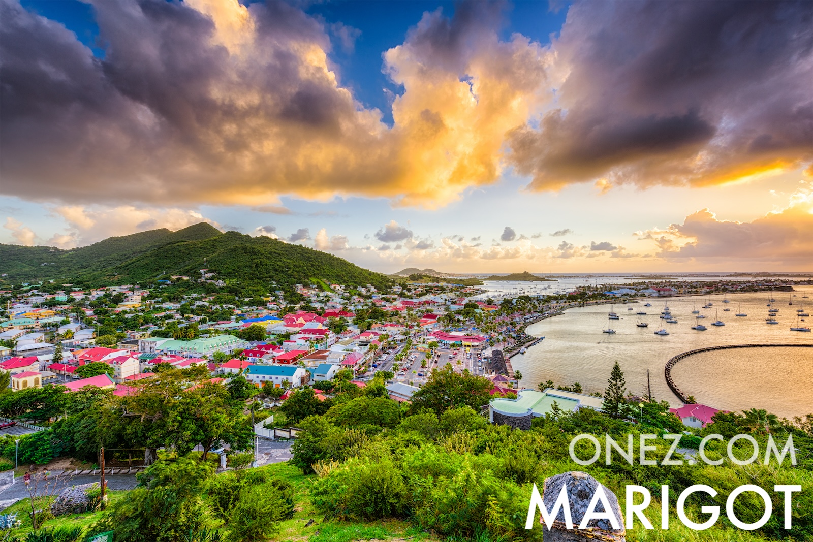
Saint Martin is split between France and the Netherlands, the smallest island in the world shared by two nations. The border has held peacefully since 1648.
Administrative divisions of Saint Martin map
04 km (2.5 mi)8 km (5 mi)12 km (7.5 mi)16 km (9.9 mi)
Height
0154075150200250300400419 m
0491312464926568209841 3101 370 ft
0 m (0 ft), 15 m (49 ft), 40 m (131 ft), 75 m (246 ft), 150 m (492 ft), 200 m (656 ft), 250 m (820 ft), 300 m (984 ft), 400 m (1310 ft), Max altitude 419 m (1370 ft)
Sea depth
01506001 8003 2005 200+ m
04921 9705 91010 50017 060+ ft
0 m (0 ft), 150 m (492 ft), 600 m (1970 ft), 1800 m (5910 ft), 3200 m (10500 ft), deeper than 5200 m (17060 ft)
Height from west to east in Saint Martin
Height from south to north in Saint Martin
1Caribbean Sea0 m
Population of Saint Martin, 1960–2025
The World Bank: Population, total (SP.POP.TOTL): United Nations Population Division, national statistical offices