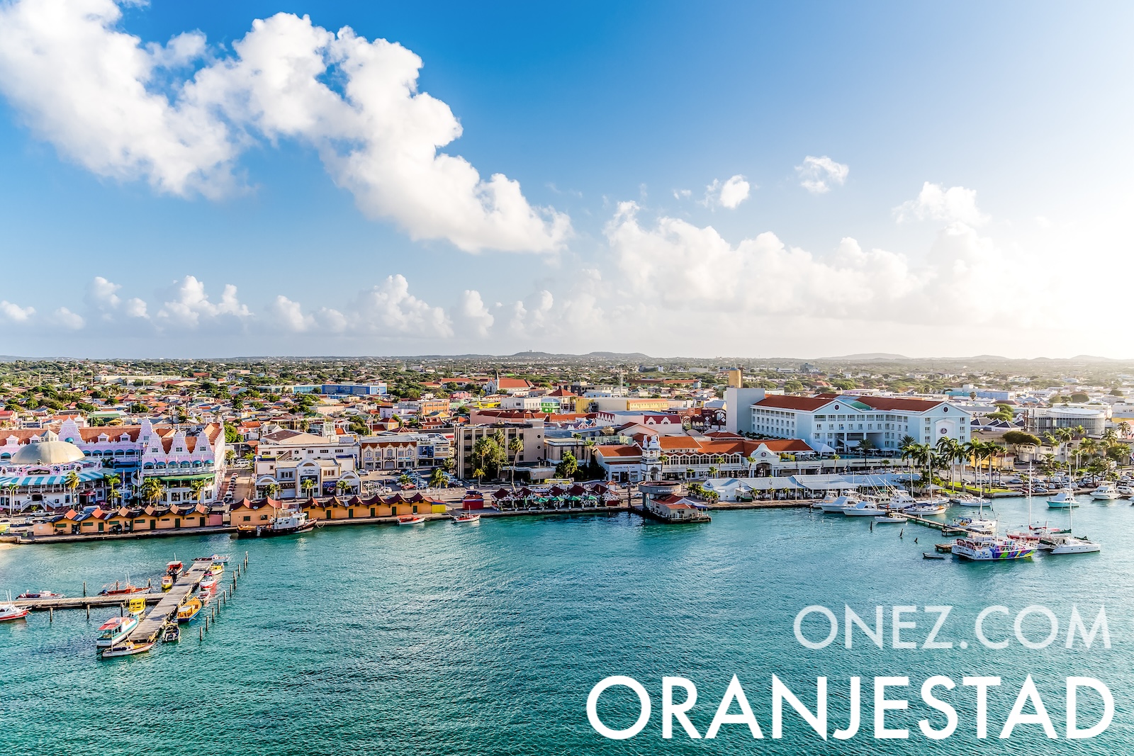
Aruba is a Dutch Caribbean island lying outside the hurricane belt. Constant trade winds bend its divi-divi trees permanently to the southwest, so every tree leans the same way.
아루바의 행정 구역 지도
06 km (3.7 mi)12 km (7.5 mi)18 km (11 mi)24 km (15 mi)
고도
0615305075100150200+ m
0204998164246328492656+ ft
0 m (0 ft), 6 m (20 ft), 15 m (49 ft), 30 m (98 ft), 50 m (164 ft), 75 m (246 ft), 100 m (328 ft), 150 m (492 ft), 200 m (656 ft) 이상
수심
01506001 8003 2005 200+ m
04921 9705 91010 50017 060+ ft
0 m (0 ft), 150 m (492 ft), 600 m (1970 ft), 1800 m (5910 ft), 3200 m (10500 ft), 5200 m (17060 ft) 이상
세계에서 아루바의 위치는 어디인가요?
We use a single analytics cookie to improve your experience on the site.
Learn more