Eritrea holds Asmara, a capital built in the 1930s and listed by UNESCO for its modernist architecture. Its Red Sea coastline runs more than a thousand kilometres.


Eritrea
Eritrea holds Asmara, a capital built in the 1930s and listed by UNESCO for its modernist architecture. Its Red Sea coastline runs more than a thousand kilometres.
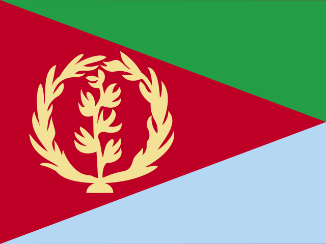
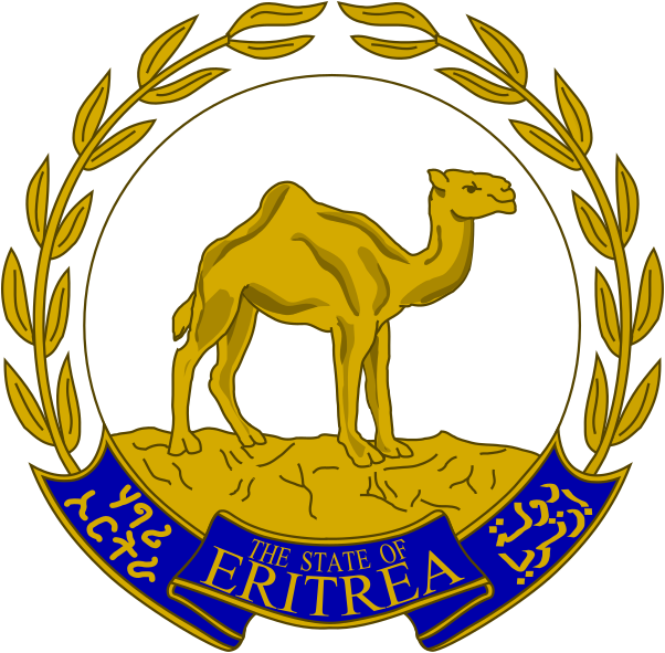
The capital city of Eritrea is Asmara, capital city of Eritrea.
Word: Asmara
Meaning: art-deco city
6 regions:
Eritrea is a Country on the Sub-Saharan Africa located in the Eastern Africa sub-region in the continent of Africa.
Capital City: Asmara, capital city of Eritrea
Population: 3,607,003 (World Bank)
Area: 117,600 km² / 45,406 sq mi
People from Eritrea are called: Eritreans
Latitude: 15.787° N
Longitude: 38.286° E
Geographical Subregion: Eastern Africa
Intermediary Region: Sub-Saharan Africa
Continental Region: Africa
Highest Elevation Point: Emba Soira (3 018 m)
Lowest point: Lake Kulul (−75 m)
hot, dry desert strip along Red Sea coast; cooler and wetter in the central highlands (up to 61 cm of rainfall annually, heaviest June to September); semiarid in western hills and lowlands
HDI Rank: 178 (UNDP)
HDI Value: 0.503
Mean Years of Schooling: 5.1
Expected Years of Schooling: 7.3
Life Expectancy at Birth: 68.6 Years
Most Predominant: Orthodox
Second Most Predominant: Catholic
Legal Status: Illegal (ILGA)
Legal Mechanism: N/A
Death Penalty: No
Maximum Prison Sentence: 7 Years
Physical Punishment: No
Time Zone: UTC+03:00
TLD: .er
Calling Code: +291
MapGeo Name: Eritrea
MapGeo Code: ER