Burundi is a landlocked country on Lake Tanganyika, the second deepest lake in the world. Its royal drummers perform a ritual listed by UNESCO as intangible heritage.


Burundi
Burundi is a landlocked country on Lake Tanganyika, the second deepest lake in the world. Its royal drummers perform a ritual listed by UNESCO as intangible heritage.
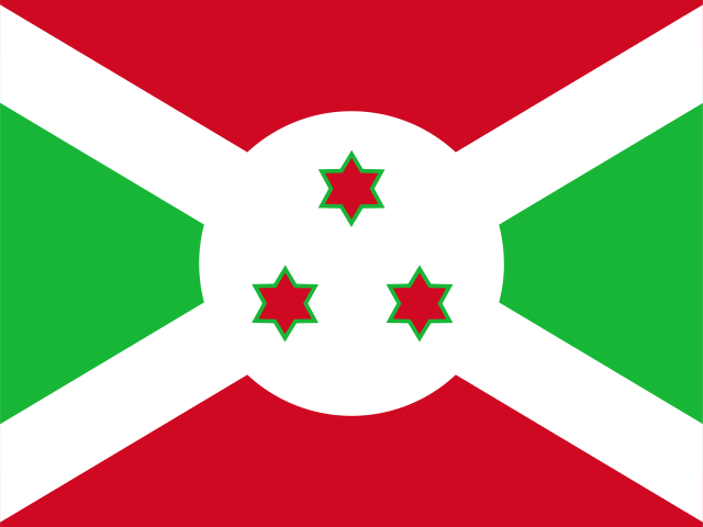

The capital city of Burundi is Gitega, capital city of Burundi.
Word: Drumming
Meaning: rhythmic tradition
17 provinces:
Burundi is a Country on the Sub-Saharan Africa located in the Eastern Africa sub-region in the continent of Africa.
Capital City: Gitega, capital city of Burundi
Population: 14,390,003 (World Bank)
Area: 27,834 km² / 10,747 sq mi
People from Burundi are called: Burundians, Barundi
Latitude: 3.333° S
Longitude: 29.917° E
Geographical Subregion: Eastern Africa
Intermediary Region: Sub-Saharan Africa
Continental Region: Africa
Highest Elevation Point: Mount Heha (2 684 m)
Lowest point: Lake Tanganyika (772 m)
equatorial; high plateau with considerable altitude variation (772 m to 2,670 m above sea level); average annual temperature varies with altitude from 23 to 17 degrees Celsius but is generally moderate as the average altitude is about 1,700 m; average annual rainfall is about 150 cm; two wet seasons (February to May and September to November), and two dry seasons (June to August and December to January)
HDI Rank: 187 (UNDP)
HDI Value: 0.439
Mean Years of Schooling: 3.5
Expected Years of Schooling: 9.8
Life Expectancy at Birth: 63.7 Years
Most Predominant: Catholic
Second Most Predominant: Protestant includes Adventist
Legal Status: Illegal (ILGA)
Legal Mechanism: N/A
Death Penalty: Yes
Maximum Prison Sentence: 2 Years
Maximum Fine: Yes
Physical Punishment: No
Time Zone: UTC+02:00
Official website: presidence.gov.bi
TLD: .bi
Calling Code: +257
MapGeo Name: Burundi
MapGeo Code: BI