バハマは、観光、金融サービス、海事物流、そして広大な保護区を通じた海洋生物多様性の保護において優れた実績を持つカリブ海の国です。
バハマ
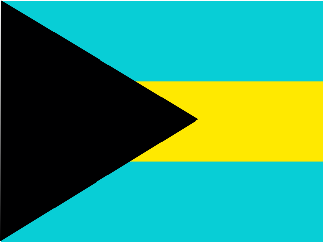
The Bahamas 国旗
The Bahamas 国章

The Bahamas 地図
について学ぶ The Bahamas
の首都は The Bahamas です バハマの首都ナッソー.
言葉: Cays
意味: small islands
行政区分
29 districts and 1 division.
Districts:
- Acklins
- Berry Islands
- Bimini
- Black Point
- Cat Island
- Central Abaco
- Central Andros
- Central Eleuthera
- Crooked Island
- East Grand Bahama
- Exuma
- Freeport
- Harbour Island
- Inagua
- Long Island
- Mangrove Cay
- Mayaguana
- Moore's Island
- North Abaco
- North Andros
- North Eleuthera
- Ragged Island
- Rum Cay
- San Salvador Island
- South Abaco
- South Andros
- South Eleuthera
- Spanish Wells
- West Grand Bahama
Division:
- BS-X01
バハマの行政区画 地図
バハマは国です Lucayan Archipelagoの の Latin America and the Caribbean Caribbean地域に位置 Americas大陸に, のメンバー CARICOM.
0150 km (93 mi)300 km (186 mi)450 km (280 mi)600 km (373 mi)
標高
0 m (0 ft), 5 m (16 ft), 10 m (33 ft), 25 m (82 ft), 40 m (131 ft), 50 m (164 ft), 75 m (246 ft), 100 m (328 ft), 150 m (492 ft)以上水深
0 m (0 ft), 150 m (492 ft), 600 m (1970 ft), 1800 m (5910 ft), 3200 m (10500 ft), 5200 m (17060 ft)以上気候
tropical marine; moderated by warm waters of Gulf Stream
宗教
主要宗教: プロテスタント includes Baptist, Anglican, PentecostalSeventh Day Adventist, Methodist, Church of God, Brethren, other Protestant
第二の宗教: カトリック
国際機関加盟
CARICOM - since 1983
技術情報
TLD: .bs
国際電話番号: +-241
MapGeo 名称: Bahamas
MapGeo コード: BS