
パプアニューギニアは、生物多様性、鉱物資源、天然ガス埋蔵量に恵まれ、持続可能な農業輸出を拡大させている太平洋の島国です。
パプアニューギニア
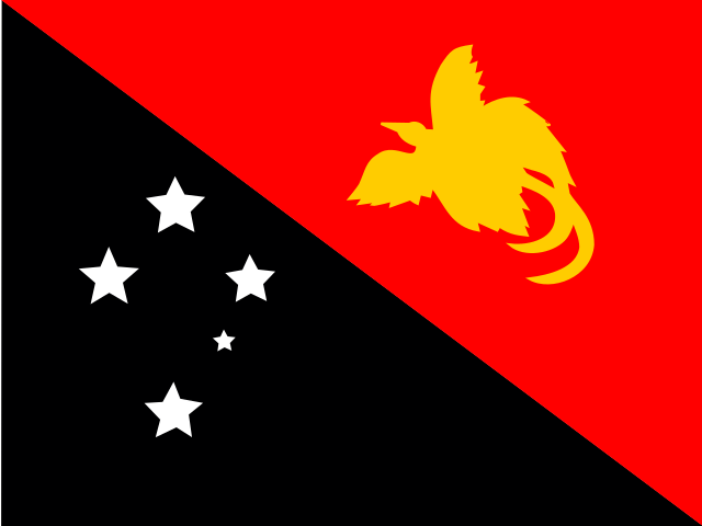
Papua New Guinea 国旗
Papua New Guinea 国章

について学ぶ Papua New Guinea
の首都は Papua New Guinea です パプアニューギニアの首都ポートモレスビー.
言葉: Singsing
意味: tribal festival
行政区分
18 provinces, 2 divisions, 1 autonomous region and 1 district.
Provinces:
- Central
- Chimbu
- East New Britain
- East Sepik
- Eastern Highlands
- Enga
- Gulf
- Madang
- Manus
- Milne Bay
- Morobe
- New Ireland
- Oro
- Sandaun
- Southern Highlands
- West New Britain
- Western
- Western Highlands
Divisions:
- PG-HLA*
- PG-JWK*
Autonomous region:
- Autonomous Region of Bougainville
District:
- Port Moresby
パプアニューギニアの行政区画 地図
パプアニューギニアは国です Melanesia地域に位置 Oceania大陸に.
0400 km (249 mi)800 km (497 mi)1200 km (746 mi)1600 km (994 mi)
標高
-7 m (-23 ft), 150 m (492 ft), 400 m (1310 ft), 750 m (2460 ft), 1000 m (3280 ft), 1500 m (4920 ft), 2500 m (8200 ft), 3000 m (9840 ft), 4000 m (13120 ft), 最高標高 4466 m (14650 ft)水深
0 m (0 ft), 150 m (492 ft), 600 m (1970 ft), 1800 m (5910 ft), 3200 m (10500 ft), 5200 m (17060 ft)以上パプアニューギニアの西から東への標高
パプアニューギニアの南から北への標高
1ソロモン海 (南東), ビスマルク海 (東), 南太平洋 (北), 珊瑚海 (南西)0 m2Sepik0〜1 685 m3Fly0〜1 458 m
パプアニューギニアの人口、1960–2025年
The World Bank: Population, total (SP.POP.TOTL): United Nations Population Division, national statistical offices
基本情報
人口: 10,762,817 (World Bank)
面積: 462,840 km² / 287,595 sq mi
パプアニューギニアの住民の呼称: Papua New Guineans, Papuans
地理
緯度: 5.695° S
経度: 143.910° E
地理的サブリージョン: メラネシア
大陸地域: オセアニア
最高地点: Mount Wilhelm (4 509 m)
Lowest point: Pacific Ocean (0 m)
国境
- インドネシア — 陸上国境
気候
tropical; northwest monsoon (December to March), southeast monsoon (May to October); slight seasonal temperature variation
宗教
主要宗教: プロテスタント Evangelical Lutheran, Seventh Day Adventist, Pentecostal, United Church, Evangelical Alliance, Anglican, Baptist, Salvation Army
第二の宗教: カトリック
技術情報
タイムゾーン: UTC+10:00, UTC+11:00
公式サイト: pmnec.gov.pg
TLD: .pg
国際電話番号: +675
MapGeo 名称: Papua New Guinea
MapGeo コード: PG