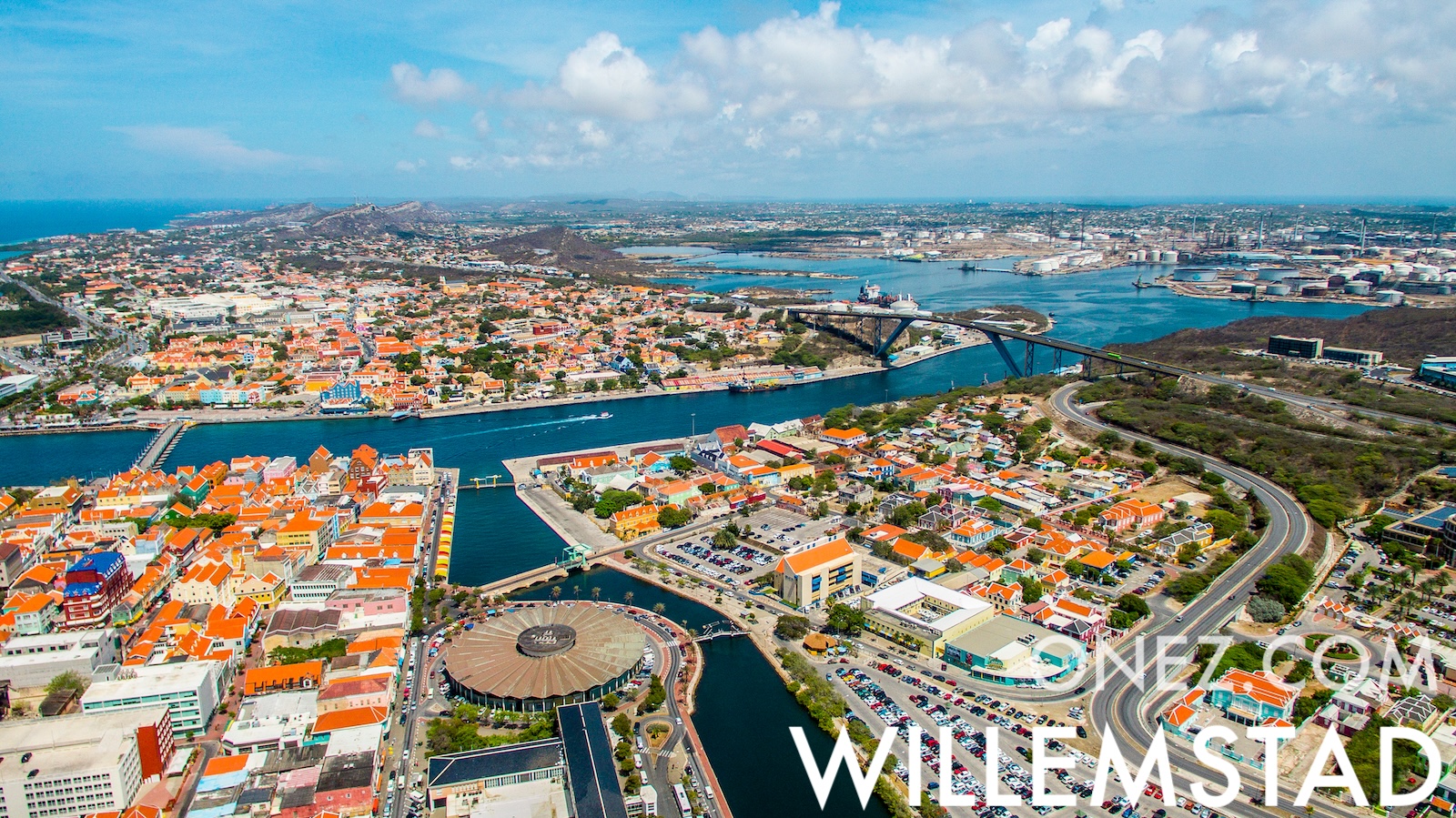
Curaçao is a Dutch Caribbean island where the local language, Papiamentu, blends Portuguese, Spanish, Dutch and West African speech. Its liqueur takes the island's name.
キュラソーの行政区画 地図
010 km (6.2 mi)20 km (12 mi)30 km (19 mi)40 km (25 mi)
標高
08204060100150200250+ m
02566131197328492656820+ ft
0 m (0 ft), 8 m (25 ft), 20 m (66 ft), 40 m (131 ft), 60 m (197 ft), 100 m (328 ft), 150 m (492 ft), 200 m (656 ft), 250 m (820 ft)以上
水深
01506001 8003 2005 200+ m
04921 9705 91010 50017 060+ ft
0 m (0 ft), 150 m (492 ft), 600 m (1970 ft), 1800 m (5910 ft), 3200 m (10500 ft), 5200 m (17060 ft)以上