바하마는 관광, 금융 서비스, 해상 물류 및 광범위한 보호 구역을 통한 해양 생물 다양성 보호 분야에서 탁월한 성과를 거두고 있는 카리브해 국가입니다.
바하마
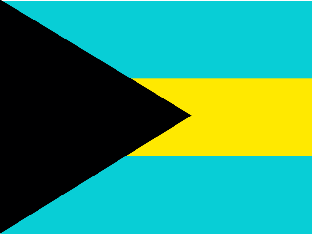
The Bahamas 국기
The Bahamas 국장

The Bahamas 지도
쉽게 배우기 The Bahamas
의 수도는 The Bahamas 입니다 바하마의 수도 나소.
단어: Cays
의미: small islands
행정 구역
29 districts and 1 division.
Districts:
- Acklins
- Berry Islands
- Bimini
- Black Point
- Cat Island
- Central Abaco
- Central Andros
- Central Eleuthera
- Crooked Island
- East Grand Bahama
- Exuma
- Freeport
- Harbour Island
- Inagua
- Long Island
- Mangrove Cay
- Mayaguana
- Moore's Island
- North Abaco
- North Andros
- North Eleuthera
- Ragged Island
- Rum Cay
- San Salvador Island
- South Abaco
- South Andros
- South Eleuthera
- Spanish Wells
- West Grand Bahama
Division:
- BS-X01
바하마의 행정 구역 지도
바하마은(는) 국가입니다 Lucayan Archipelago 소속 의 Latin America and the Caribbean Caribbean 하위 지역에 위치 Americas 대륙에, 의 회원국 CARICOM.
0150 km (93 mi)300 km (186 mi)450 km (280 mi)600 km (373 mi)
고도
0 m (0 ft), 5 m (16 ft), 10 m (33 ft), 25 m (82 ft), 40 m (131 ft), 50 m (164 ft), 75 m (246 ft), 100 m (328 ft), 150 m (492 ft) 이상수심
0 m (0 ft), 150 m (492 ft), 600 m (1970 ft), 1800 m (5910 ft), 3200 m (10500 ft), 5200 m (17060 ft) 이상기후
tropical marine; moderated by warm waters of Gulf Stream
종교
주요 종교: 개신교 includes Baptist, Anglican, PentecostalSeventh Day Adventist, Methodist, Church of God, Brethren, other Protestant
두 번째 종교: 가톨릭
국제 기구 가입
CARICOM - since 1983
기술 정보
TLD: .bs
국가 전화 코드: +-241
MapGeo 이름: Bahamas
MapGeo 코드: BS