
コンゴ民主共和国は中央アフリカの国家であり、世界のコバルト埋蔵量の70%、主要な銅資源、インガ滝における巨大な水力発電の可能性、広大なコンゴ盆地の熱帯雨林による炭素吸収源、そして地域的なデジタル回廊プロジェクトを有しています。
コンゴ民主共和国
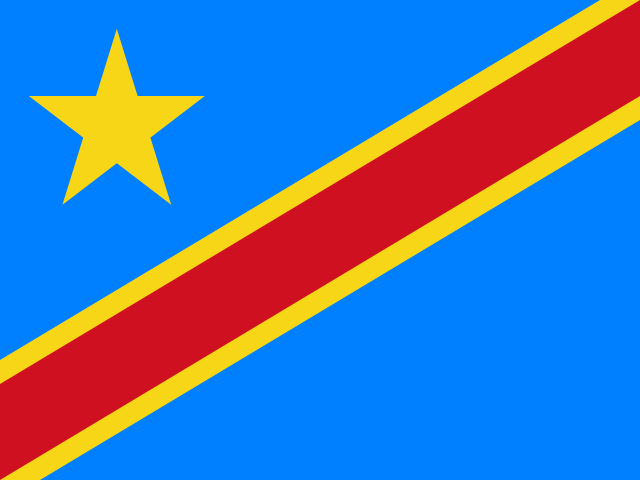
Democratic Republic of the Congo 国旗
Democratic Republic of the Congo 国章

について学ぶ Democratic Republic of the Congo
の首都は Democratic Republic of the Congo です コンゴ民主共和国の首都キンシャサ.
言葉: Cobalt
意味: vital mineral
行政区分
25 provinces and 1 city.
Provinces:
- Bas-Uele
- Équateur
- Haut-Katanga
- Haut-Lomami
- Haut-Uele
- Ituri
- Kasaï District
- Kasai-Oriental
- Kongo Central
- Kwango
- Kwilu
- Lomami
- Lualaba
- Lulua District
- Mai-Ndombe
- Maniema
- Mongala
- North Kivu
- North Ubangi
- Sankuru
- South Kivu
- South Ubangi
- Tanganyika
- Tshopo
- Tshuapa
City:
- Kinshasa
コンゴ民主共和国の州と市 地図
コンゴ民主共和国は国です の Sub-Saharan Africa Central Africa地域に位置 Africa大陸に.
0600 km (373 mi)1200 km (746 mi)1800 km (1118 mi)2400 km (1491 mi)
標高
0 m (0 ft), 400 m (1310 ft), 500 m (1640 ft), 700 m (2300 ft), 900 m (2950 ft), 1200 m (3940 ft), 1600 m (5250 ft), 1900 m (6230 ft), 2100 m (6890 ft), 最高標高 4758 m (15610 ft)水深
0 m (0 ft), 150 m (492 ft), 600 m (1970 ft), 1800 m (5910 ft), 3200 m (10500 ft), 5200 m (17060 ft)以上コンゴ民主共和国の西から東への標高
コンゴ民主共和国の南から北への標高
1Congo152〜563 m2Lomami371〜1 068 m3Lualaba364〜1 396 m
コンゴ民主共和国の人口、1960–2025年
The World Bank: Population, total (SP.POP.TOTL): United Nations Population Division, national statistical offices
基本情報
首都: コンゴ民主共和国の首都キンシャサ
人口: 112,832,473 (World Bank)
面積: 2,344,858 km² / 905,354 sq mi
コンゴ民主共和国の住民の呼称: Congolese
地理
緯度: 1.858° S
経度: 23.459° E
地理的サブリージョン: 中央アフリカ
中間地域: サハラ以南アフリカ
大陸地域: アフリカ
最高地点: Mount Stanley (5 109 m)
Lowest point: Atlantic Ocean (0 m)
気候
tropical; hot and humid in equatorial river basin; cooler and drier in southern highlands; cooler and wetter in eastern highlands; north of Equator - wet season (April to October), dry season (December to February); south of Equator - wet season (November to March), dry season (April to October)
宗教
主要宗教: カトリック and Propestant
第二の宗教: その他
技術情報
タイムゾーン: UTC+01:00, UTC+02:00
TLD: .cd
国際電話番号: +243
MapGeo 名称: Democratic Republic of Congo
MapGeo コード: CD