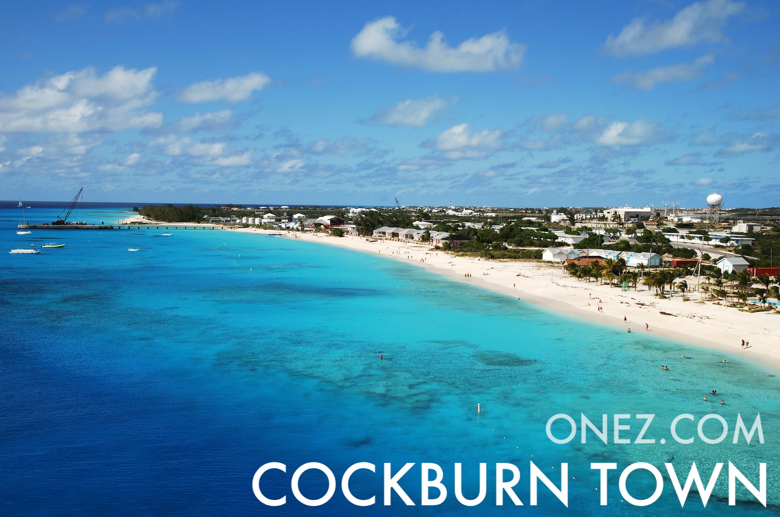
Turks and Caicos Islands sit on a shallow bank with one of the longest coral reefs in the world. Salt raking was the main industry until the 1960s and gave the islands their first economy.
터크스 케이커스 제도의 행정 구역 지도
030 km (19 mi)60 km (37 mi)90 km (56 mi)120 km (75 mi)
고도
−1510254047 m
−3163382131154 ft
-1 m (-3 ft), 5 m (16 ft), 10 m (33 ft), 25 m (82 ft), 40 m (131 ft), 최고 고도 47 m (154 ft)
수심
01506001 8003 2005 200+ m
04921 9705 91010 50017 060+ ft
0 m (0 ft), 150 m (492 ft), 600 m (1970 ft), 1800 m (5910 ft), 3200 m (10500 ft), 5200 m (17060 ft) 이상
터크스 케이커스 제도의 서쪽에서 동쪽까지의 고도
터크스 케이커스 제도의 남쪽에서 북쪽까지의 고도
1북대서양0 m
터크스 케이커스 제도의 인구, 1960–2025년
The World Bank: Population, total (SP.POP.TOTL): United Nations Population Division, national statistical offices