Saint Vincent en de Grenadines rijgt 32 eilanden en eilandjes aaneen in de oostelijke Caraïben. La Soufrière, de actieve vulkaan, barstte opnieuw uit in 2021.
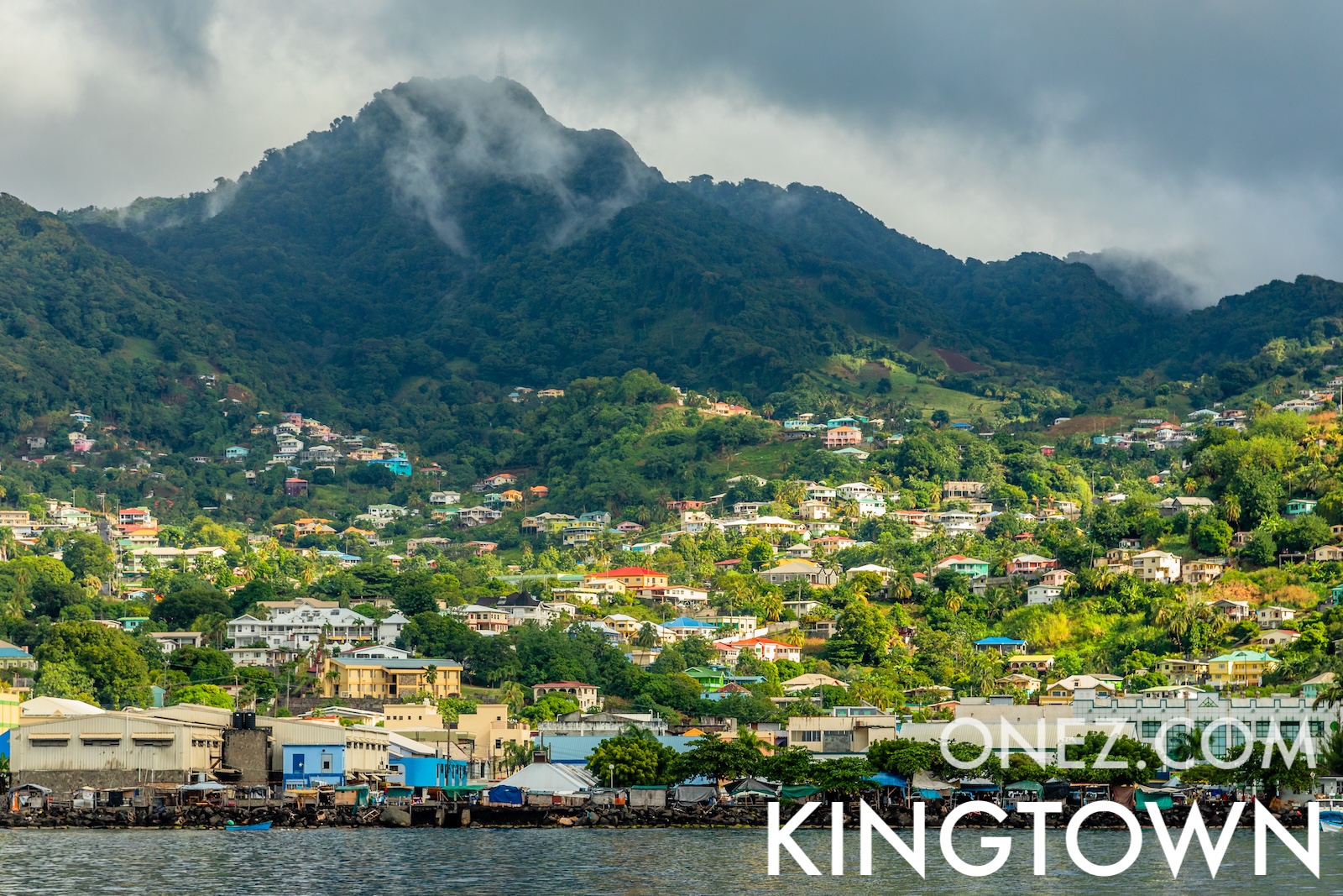

Saint Vincent en de Grenadines
Saint Vincent en de Grenadines rijgt 32 eilanden en eilandjes aaneen in de oostelijke Caraïben. La Soufrière, de actieve vulkaan, barstte opnieuw uit in 2021.
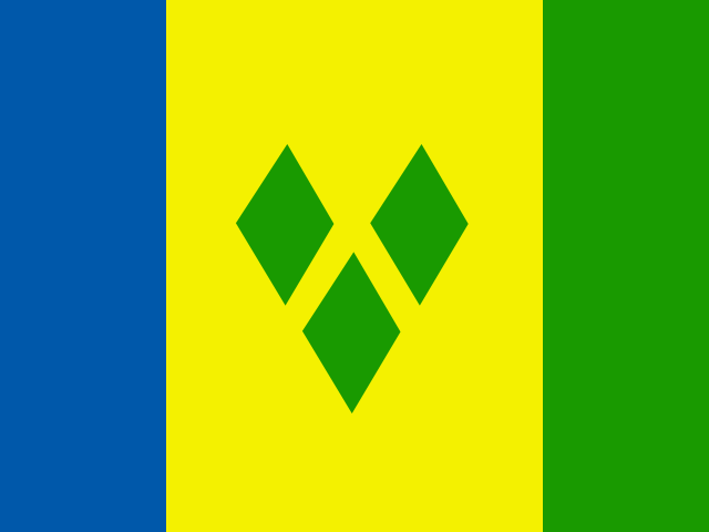
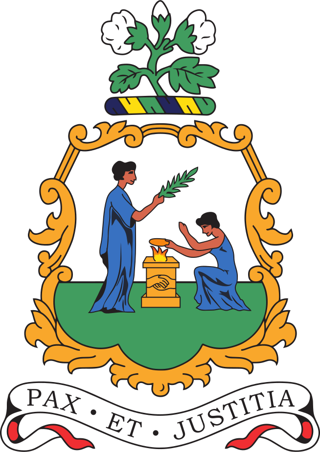
De hoofdstad van Saint Vincent and the Grenadines is Kingstown, hoofdstad van Saint Vincent en de Grenadines.
Woord: Soufrière
Betekenis: erupting volcano
6 parishes:
Saint Vincent en de Grenadines is een Land van Windward Islands op de Latin America and the Caribbean gelegen in de subregio Caribbean op het continent Americas, lid van CARICOM.
Natural Earth · © OpenStreetMap contributors (ODbL) · GEBCO 2026 Grid · Heights: NASADEM, NASA
Hoofdstad: Kingstown, hoofdstad van Saint Vincent en de Grenadines
Bevolking: 99,924 (World Bank)
Oppervlakte: 389 km² / 242 sq mi
Inwoners van Saint Vincent en de Grenadines heten: Saint Vincentians, Vincentians
Breedtegraad: 13.088° N
Lengtegraad: 61.336° W
Geografische subregio: Caribisch Gebied
Intermediaire regio: Latijns-Amerika en het Caribisch gebied
Continentale regio: Amerika
Hoogste punt: La Soufrière (1 220 m)
Lowest point: Caribbean Sea (0 m)
tropical; little seasonal temperature variation; rainy season (May to November)
HDI rang: 76 (UNDP)
HDI waarde: 0.798
Gemiddelde schooljaren: 11.3
Verwachte schooljaren: 16.3
Levensverwachting bij geboorte: 71.2 Jaar
Meest voorkomende religie: Protestant Pentecostal, Anglican, Seventh Day Adventist, Baptist, Methodist, Evangelical, Salvation Army, Presbyterian/Congregational
Op één na meest voorkomende religie: Katholiek
Juridische status: Illegaal (ILGA)
Juridisch mechanisme: N/A
Doodstraf: No
Maximale gevangenisstraf: 10 Jaar
Lichamelijke straf: No
CARICOM - since 1974
Tijdzone: UTC−04:00
TLD: .vc
Landnummer: +-783
MapGeo naam: Saint Vincent and the Grenadines
MapGeo code: VC