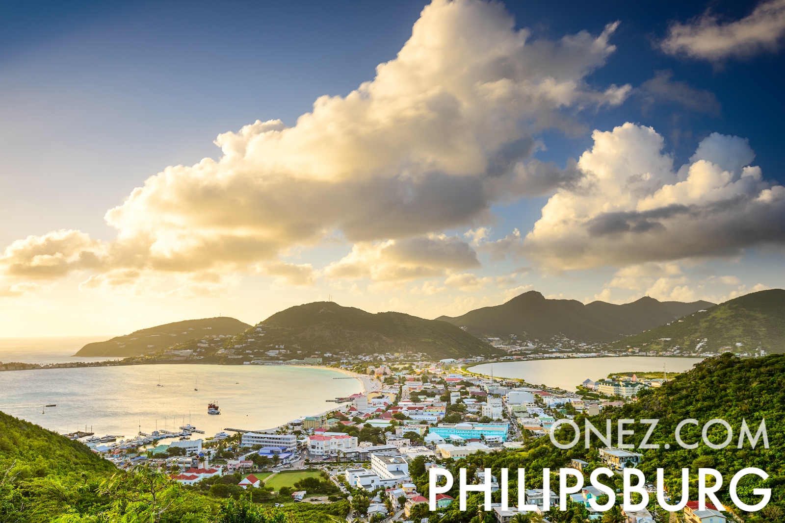
Sint Maarten is the Dutch half of an island shared with France. Its airport runway ends at a public beach, so aircraft pass low over the sand on approach.
Sint Maarten: hallinnolliset alueet kartta
03 km (1.9 mi)6 km (3.7 mi)9 km (5.6 mi)12 km (7.5 mi)
Korkeus
0103060100150200250300+ m
03398197328492656820984+ ft
0 m (0 ft), 10 m (33 ft), 30 m (98 ft), 60 m (197 ft), 100 m (328 ft), 150 m (492 ft), 200 m (656 ft), 250 m (820 ft), yli 300 m (984 ft)
Meren syvyys
01506001 8003 2005 200+ m
04921 9705 91010 50017 060+ ft
0 m (0 ft), 150 m (492 ft), 600 m (1970 ft), 1800 m (5910 ft), 3200 m (10500 ft), yli 5200 m (17060 ft)