Honduras, Central America
This post was last updated by José of onez on Tuesday, 20 May 2025.

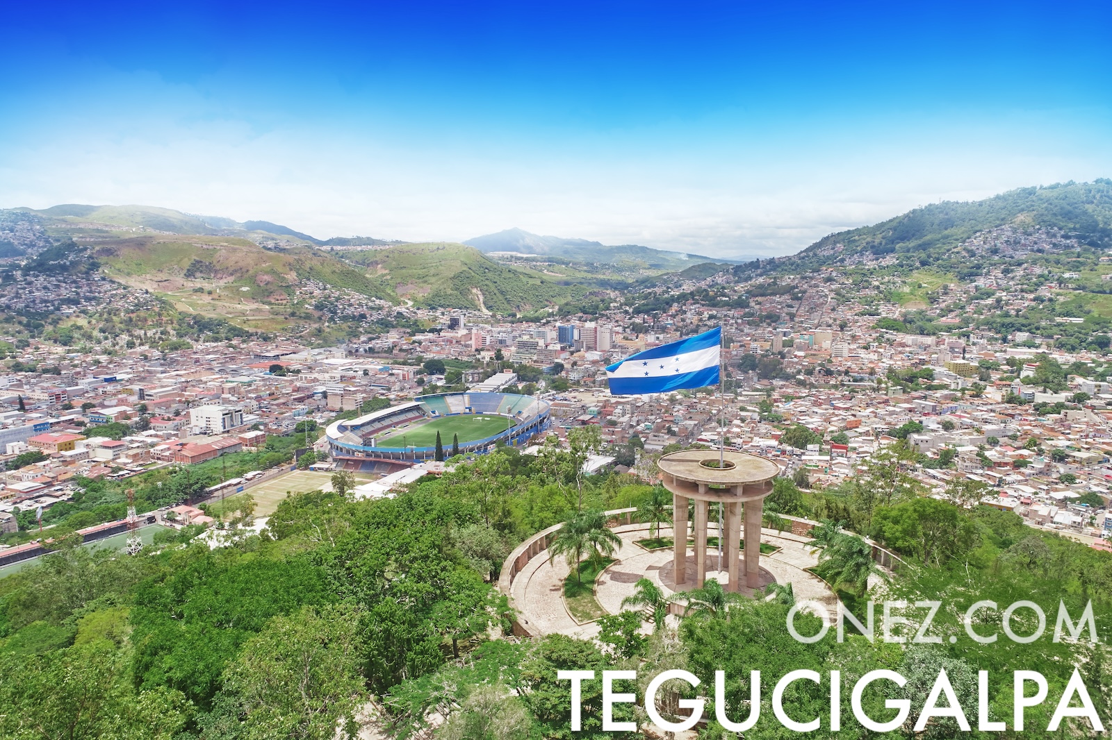
Image of Tegucigalpa, capital city of Honduras
Honduras is a Central-American state with rich Maya heritage, expanding apparel manufacturing, and strong coffee and cacao export brands.
Honduras in one word would be “Copán,” meaning Maya site.
Honduras Flag
Honduras armorial
Honduras is a country on the Latin America and the Caribbean, North America located in the Central America sub‑region of the Americas continent.
Honduras administrative divisions
18 departments (departamentos)
- Atlántida,
- Choluteca,
- Colon,
- Comayagua,
- Copan,
- Cortes,
- El Paraiso,
- Francisco Morazán,
- Gracias a Dios,
- Intibuca,
- Islas de la Bahia,
- La Paz,
- Lempira,
- Ocotepeque,
- Olancho,
- Santa Barbara,
- Valle,
- Yoro
Easy learning about Honduras |
The capital city of Honduras is Tegucigalpa.
| Honduras is located in | Latin America and the Caribbean, North America Central America Americas Continent Inhabitants of Honduras are called Hondurans |
| Honduras has a population of | 10,644,851 inhabitants within a total area of 112,090 Km2 (69,649 sq mi) (2023 UN data) |
| Honduras’s Global Peace Index (GPI) | 123 (world rank position) GPI scale of 2.42 This means, the closer to 1, the more peaceful the country is... (2024 data from GPI) |
| Human Development Index (HDI) | Honduras HDI ranks in position nº 139 worldwide HDI of 0.645 (0.4 to 1) (2023 data from UNDP) |
| Honduras’s passport | allows visa-free entry to 133 countries Honduras passport ranks 37th in the world (2025 HP Index data) |
| Honduras GDP per capita is | $3,519 USD (2025 estimated data from IMF) |
| Honduras ’s LGBTI legal status | Same-sex sexual acts are Legal (2025 ILGA data) |
| Honduras EPI (English Proficiency Index) | is classified as Moderate proficiency has a score of 545 ranks 33rd worldwide (2024 data from EPI) |
| Latitude & Longitude | 15° 00' N, 86° 30' W Open in Google Maps |
| Neighbouring countries | Guatemala, Nicaragua, El Salvador. |
| Honduras Climate | subtropical in lowlands, temperate in mountains |
| Most predominant religion | Evangelical/Protestant, |
| Second most predominant religion | Roman Catholic |
| Currency name & code | Lempira (HNL) |
| Internet ccTLD | .hn |
| Honduras calling code | +504 |
ONEZ World Map
This map allows you to zoom, hover over a country to identify it, and click to view its article.
You’ve landed here—see the path you followed
Visit “Our World” to see every country on the globe, or—if you’re curious—check out my personal ideas.
...or head straight for the next reading
