Le Portugal a conservé les mêmes frontières depuis 1297, parmi les plus anciennes d'Europe. Son alliance avec l'Angleterre, signée en 1386, est le plus ancien traité encore en vigueur au monde.
Où se trouve le Portugal sur la carte du monde ?
Le Portugal se situe à la pointe sud-ouest de l'Europe, juste au-dessus de la côte nord-ouest de l'Afrique et à l'est des États-Unis, séparé par l'océan Atlantique.
Wine tours, City break in Lisbon and Porto, 1500 km of beaches, Futbol, sailing, climbing, nature walkings, Fátima Catholic santuary
Mot: Saudade
Signification: nostalgic longing
Divisions administratives
18 districts and 2 autonomous regions.
Districts:
Aveiro
Beja
Braga
Bragança
Castelo Branco
Coimbra
Évora
Faro
Guarda
Leiria
Lisbon
Portalegre
Porto
Santarém
Setúbal
Viana do Castelo
Vila Real
Viseu
Autonomous regions:
Azores
Madeira
Districts et régions autonomes de Portugal carte
Portugal est un Pays sur le Southern Europe situé dans la sous-région de Southern Europe sur le continent Europe, membre de European Union.
0100 km (62 mi)200 km (124 mi)300 km (186 mi)400 km (249 mi)
Altitude
0802004006509501 3001 6001 750+ m
02626561 3102 1303 1204 2705 2505 740+ ft
0 m (0 ft), 80 m (262 ft), 200 m (656 ft), 400 m (1310 ft), 650 m (2130 ft), 950 m (3120 ft), 1300 m (4270 ft), 1600 m (5250 ft), plus de 1750 m (5740 ft)
Profondeur de la mer
01506001 8003 2005 200+ m
04921 9705 91010 50017 060+ ft
0 m (0 ft), 150 m (492 ft), 600 m (1970 ft), 1800 m (5910 ft), 3200 m (10500 ft), plus de 5200 m (17060 ft)
Point culminant:Ponta do Pico on Ilha do Pico in the Azores with 2,351 m and Serra da Estrela in the continent with 1500 meters
Littoral:17,931,793 km
Frontières
Frontière nord:Spain
Frontière sud:Atlantic ocean
Frontière est:Spain
Frontière ouest:Atlantic ocean
Informations pratiques
Aéroports internationaux principaux: Lisbon (LIS) Humberto Delgado Airport Porto (OPO) Francisco de Sá Carneiro Airport Faro (FAO) Faro Airport Madeira (FNC) Madeira Airport Cristiano Ronaldo Azores (PDL) João Paulo II Airport
Principaux ports maritimes: Sines Leixões
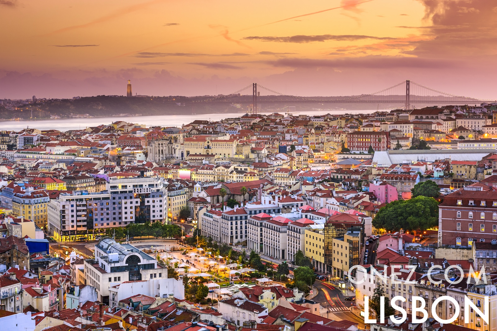
Raisons de visiter: Wine tours, City break in Lisbon and Porto, 1500 km of beaches, Futbol, sailing, climbing, nature walkings, Fátima Catholic santuary
Culture
Plat principal: Bacalhau — dried and salted cod fish usually soaked first in water or milk; typically prepared with a variety of ingredients including potatoes, carrots, cabbage, or eggs and may be baked, boiled, or fried. Grilled sardines after may to September, Seafood cataplana all year.
Noms du pays dans d'autres langues: Portogallo in Italian Portugalia in Polish Portugalia in Romanian Πορτογαλία (Portogalía) in Greek Португалия (Portugaliya) in Russian البرتغال (al-Burtughāl) in Arabic 葡萄牙 (Pútáoyá) in Chinese (Mandarin) ポルトガル (Porutogaru) in Japanese 포르투갈 (Poreutugal) in Korean




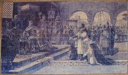
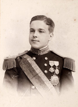
.png "D. Carlos I de Portugal")